Mt Marulan VK2/ST-039 - my first failed activation


Having not been out on summits for a little while I received a push by my good friend https://www.instagram.com/trig_ventures/ who is a frequent hiking buddy and another good friend to try and activate VK2/ST-039 Mt Marulan.

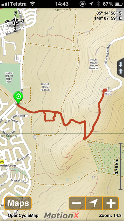
Reading blogs from VK1MCW, VK1AD and VK2IO we followed the GPXs within the files section here on groups IO.

Arriving at the G98 trail head, we noted a new sign compared to other blog images noting the gate was now PRIVATE, which without direct permission we did not want to enter.  We checked the other 2 gates on the eastern side of the fence, both were also locked.

Noting some comments on some older activations from VK2IO and VK2HRX they mentioned the trail comes out near Tiyces Lane further to the south.

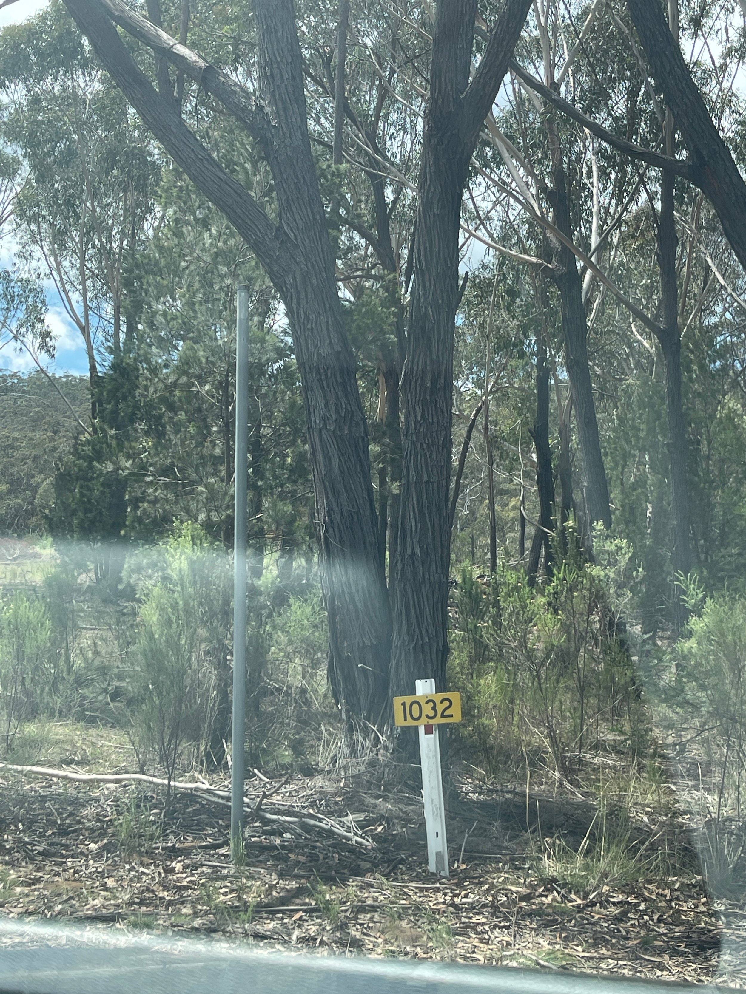
Heading to the very end of Tiyces Lane the former brown sign indicating the trailhead direction was missing compared to VK2IO's blog

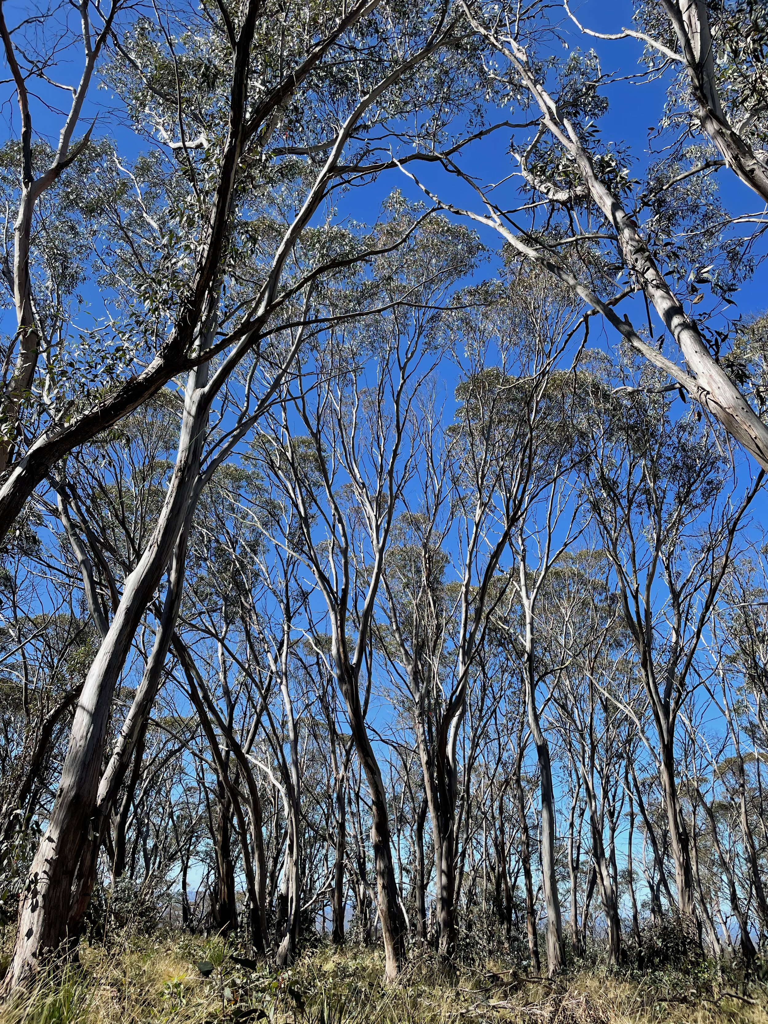
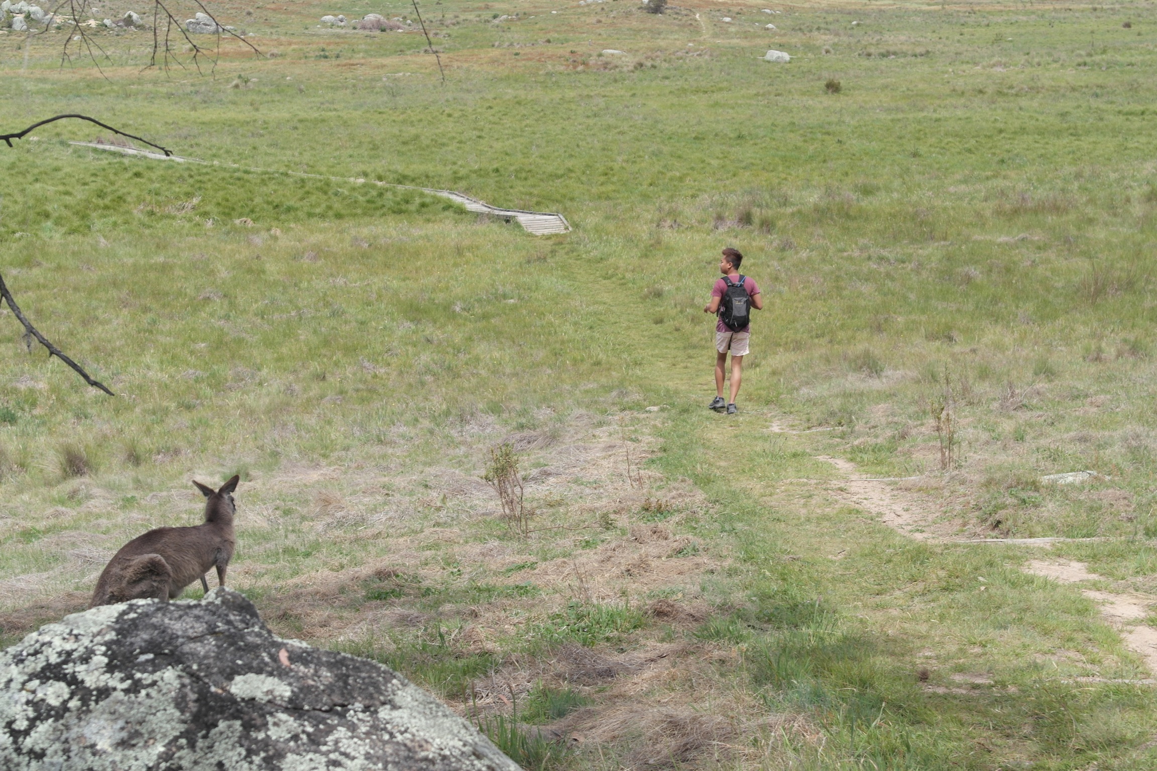
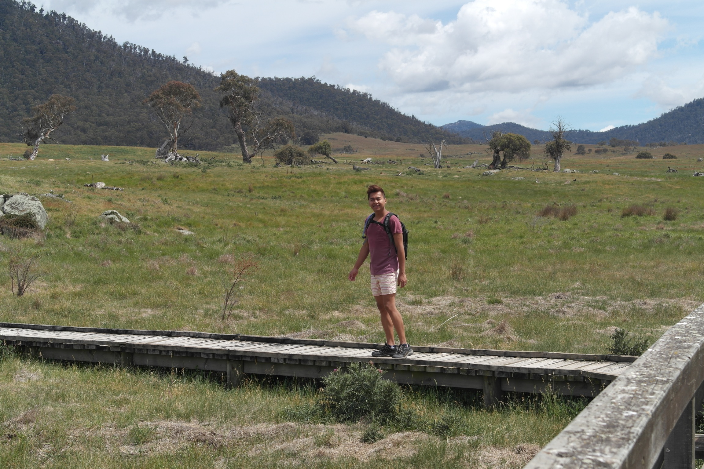
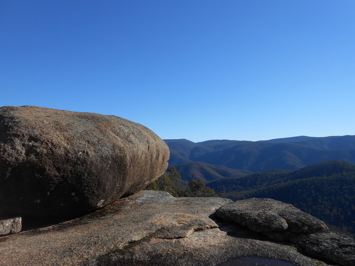
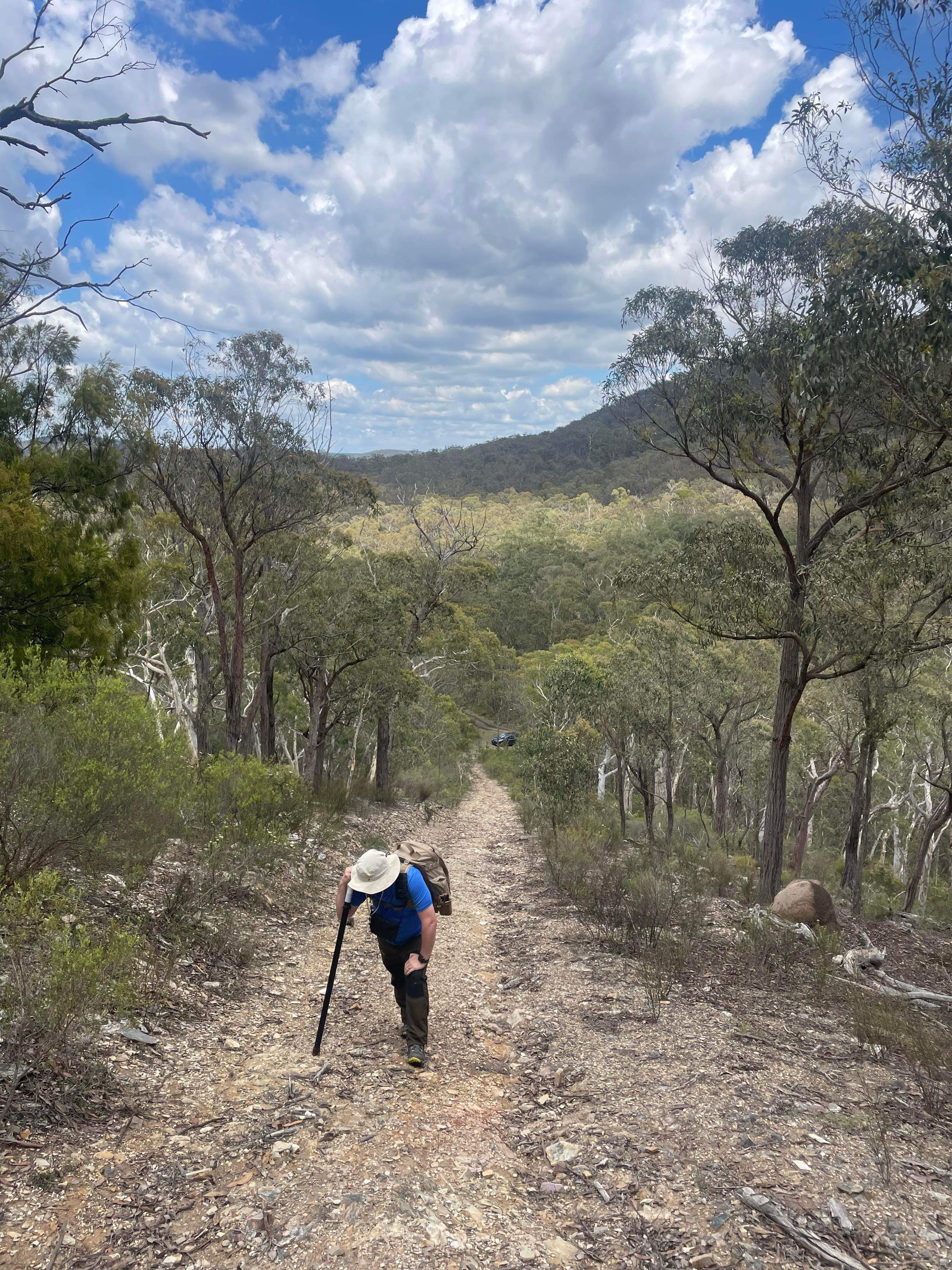
Once arriving at the trail head a nearly 3km climb awaits you - I suggest not trying it on a 30 degree day like we did. 

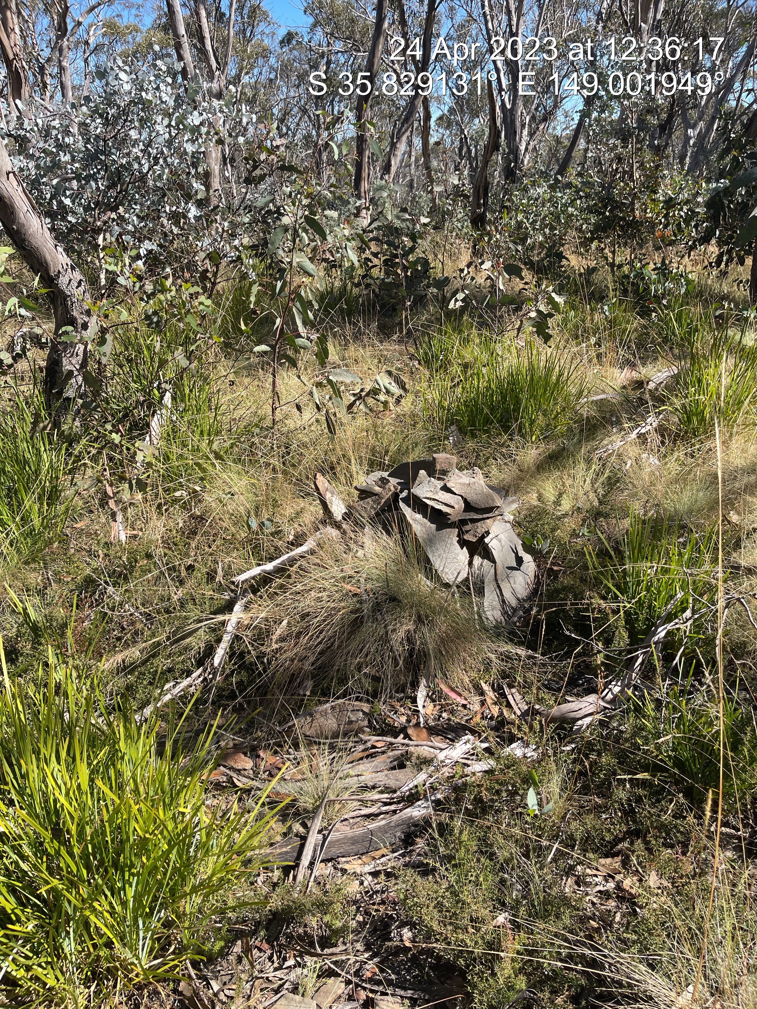
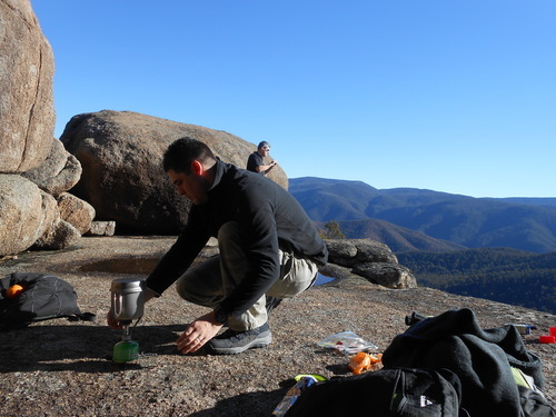
Arriving at the trig was a feat that was celebrated by Trig_Vetures

Sadly HF conditions were a complete blow out - not a single call in response to my CQs on 40 or 20m.

I could hear faint murmers of VKFF parks activators on 7.144 but not actual words. VK1AD reported he could not hear me and I could not hear him on the usual workhorse band of 40m. Mt Marulan has become my first failed activation. With that steep climb I doubt I will be returning in a hurry either!

A refreshing ginger beer was had at the Hiberian Hotel in Goulburn and a safe return in the early evening was a welcome finish. VK1AD advised the MUF for that time as 4MHZ

Boboyan Range VK/AC-044 - Epic road trip!

It has been a long time between SOTA outings!

After almost no activating in a long while, I decided to put a little project radio I had been playing with, the Chinese clone USDR radio from AliExpress. After some work to get it aligned, I decided it needed an on-air outing.

Not having been to many Namadgi summits post the 2019/2020 fires that tore through much of the national park, I wanted to return to one of my favourites, Boboyan Range, AC-044. Located on top of a flat eucalypt plateau, accessed by working the contour lines filled with black wattle and other calf and ankle-poking foliage entirely off-track, navigating to the summit requires bush bashing and a keen eye on the GPX GPS track.

Finding the little rock cairn that has been added to by consecutive activators nestled amongst the juvenile gums, I wanted to mark the exact location for the future.

Setting up on my blue tarp, running a linked 20/40m end fed antenna with a QPRGuys 40-10 EFHW tuner with the long wire thrown over a hanging branch, set up could not be lighter or more simple.

Andrew VK1DA was located on a nearby summit, Mt Livingston VK2/ST-093 I was able to test the USDR’s inbuilt CW decoder - video below

The ‘other’ Andrew, VK1AD was also able to offer a summit to summit contact, located on Mt Stromlo, VK1/AC-043 and he recorded the following exchange to capture the audio quality that he received

With the K Index in the toilet, I was still happy to work more than enough stations to qualify the summit, with reports as far as the South Island of New Zealand

Following the activation and spending almost an hour on the summit, my walking compainion and I packed up and headed back to the car, thankful for the downhill run. Finding the car in the small culvet that we had left it, we headed off to the Mt Clear campground for refreshments. Continuing a short distance south on Boboyan road to the historic Brayshaws Hut.

The original plan was to continue south, stopping again at Adaminaby before doubling back to Coooma and home via the Monaro Highway. Immediately after leaving Boboyan Road where it meets the Snowy Mountain Highway, we encountered a road closure due to a tragic truck accident that had occurred approx 90 mins prior in which the truck crashed and caught fire. This meant the road home would be closed for the foreseeable future. Deciding to turn west we headed towards Tumut. Not before visiting the big trout at Adaminaby.

Dropping down the mountain pass and entering the hydo hamlet of Talbingo we encoutered 2 Emu on the side of the road, grasing in the falling dusk.

A lovely day trip out to test out the USDR turned into an 11-hour, 500km excursion taking in many unplanned sights, as captured by my APRS track from my Kenwood 710 mounted in my car.

PowerFilm LightSaver Max

PowerFilm LightSaver Max - a rollable solar lithium battery  

Stats: 

18000 mAh

2x 2.5A USB

12v max 5A

Rollable solar panel


Solar charge 6-8 Hours

Wall charge (USB-C) 3 hours

My desired use:

Directly connect the LightSaver Max (LSM) to my Yaesu FT817ND for extended portable Amateur Radio operations, additionally allow charging of my mobile phone, my 7in android tablet used for logging in the field along with assorted miscellaneous charging such as GoPro for recording, my headlamp for night operations etc.

During the day time I would like to see if the, when unrolled and placed in the sun, will the solar panel pass an increased voltage spike along to the radio. Based on the provided specifications from the suppliers, the following use times are calculated:

LSM contains an 18000mAh battery that would allow

Yaesu 817ND

TX      2000mAh       9 hours total transmitting

RX      450mAh        40 hours total receiving

Charging               

iPhone 2900mAh       6 times from 0-100%

Tablet  3450mAh        5 times from 0-100%

Please note these are not combined or simultaneous use calculation but individual single item calculations.


Conclusion: as per the video the LSM performed brilliantly. Delivering a smooth quiet 12.2v for over 2 hours of use, plus charged my phone and tablet to get the battery down to 6/10.  


SOTA: Mount Gillamatong - with a nice fat black snake

IMAGE.JPG

I had itchy feet again and wanted to get out to activate a summit a tiny bit further afield than VK1 easy walk ups, Mt Gillamatong near Braidwood in regional NSW seemed to fit the bill nicely. 


A warm easy 1 hour drive east of Canberra and 10m from down town Braidwood - Gillamatong as looks rather imposing from the base.  We approached from the west near the local water treatment facility. This apparently is not the way others have in the past, however is the easier of the East / West approach options.  

Progress on the dirt track was momentarily halted by the appearance of a rather slippery character  - a rather well fed Red Belly Black Snake quickly moved off in search of a less disturbed hideout and we passed on. 

This is one of the few times my partner Frankie has joined me on SOTA activations. He is keen on the walking side but the sitting around while the radio bits are down 

This is one of the few times my partner Frankie has joined me on SOTA activations. He is keen on the walking side but the sitting around while the radio bits are down 

  Activation side of things were only undertaken for an hour or so with no nibbles on 2m or 70cm sadly.  HF seemed to be ok with my regular bands of 40 and 15m yielding results.   Below is a video of the activation.  

  Activation side of things were only undertaken for an hour or so with no nibbles on 2m or 70cm sadly. 


HF seemed to be ok with my regular bands of 40 and 15m yielding results.  


Below is a video of the activation.  

Gear: BadElf 2200 3 axis bluetooth GPS

Bad-Elf-2200-GPS-Pro-Blacksilver-4.jpg

Bad-Elf-2200-GPS-Pro-Blacksilver-4I recently picked up this tiny 3 axis Bluetooth tracker from eBay for $147.00 AUD.

There are two primary uses that I will be putting the BadElf 2200 to. Unlike my phone, this device can happily chug along all day turning out a highly accurate GPS track all day and night on a single charge. Not only does this allow us to see where we have been but it helps with the the geo location of photos (more that later).

The 2200 is equipped with Bluetooth which mans that it only can you transfer the created track files back to your phone or iPad it can actually supplement the inbuilt GPS (or supply full GPS in the case of a wifi only iPad) both on and off wifi connection.

This is incredibly helpful. As I discovered while hiking through the hills of Myanmar last year - your iPhone's GPS is deactivated when the phone is set to flight mode. I found no way of turning the GPS only on without taking the phone out of flight mode and draining the battery as it constantly searches for a signal.

Another use I am keen to put the 2200 to is to assist. With geo tagging our hundreds (and thousands) of photos we take while travelling.

With some software wizardry, I can time match the time of the photo taken with an exact location. Regardless of which camera or device I used to take the photo. One of the hardest things to do after coming back from Myanmar was the reconciliation of 6000 photos with which temple or holy site the photo matched. Using freely available software I can import the track file and have the photos located by the time they were shot.

NB - all of your devices should be set to the same Timezone otherwise you will need to do some time correcting.

If you have a lot of travel across multiple countries, I would suggest using GMT or Zulu time and adding the appropriate corrections in segments. There are any number of applications, some web based, who will take the tracking file (usually gpx) and geo code your photos. Simple search geo code photos using gpx track.

I have been using the 2200 on longer road trips and found. That after 6 hours of constant tracking less than 5% battery and 10% memory used. This includes over 20000 individual tracking point

Catch the Sun! Store the power!

Battery-Group.jpg

I seem to have developed a bit of a fetish for batteries.


Any one that knows me or reads this blog knows that I love my gadgets. I have specifically designed all of my kit to either be charged by solar (the Goal Zero Guide 7) or via USB.


On an every day basis I use the Plox Box. Which replaced one of the 2 Guide 10 Plus battery pack. It was only replaced because I needed more power for my iPhone 5 and USB Wi-Fi. I still used the Guide 10 Plus packs as a solar regulator when items cannot take a direct solar charge due to irregular power delivery


LtoR Plox, Anker, Xiaomi, Goal Zero

To keep the cold out – what is better than a cup of tea in nature – nothing I say – nothing at all and the JetBoil really came through.


Amazing customer service from @thekitbag

I wanted to publicly acknowledge the amazing customer service I recently received from The Kit Bag, an online kit store from Western Australia. While I was in Darwin last year for work, I needed a new every day pack, I settle on the 36l Bravo Recon from The Kit Bag.  


What I didn't realise until only this week was that the bag was missing some items when it arrived last year. Namely the Y compression strap, the hip belt and the water bladder.  I contacted them by phone this week, emailed some pictures and by COB that day a BRAND NEW ONE was already on its way. It has arrived and the old one returned (at their cost!!!)

These guys know how to look after people!!


After Action Report - Horse Gully Hut hike and overnight- December 2013

20140103-131608.jpg

Location

Located approx 50km south of Tuggernong ACT in the Namadgi National Park in the Naas Valley.Getting thereFrom Point Hutt Crossing and through the township of Tharwa, keep heading south. Road is tarred until approx 15km north of the turn off to Mt Clear Campground. Trailhead is located adjacent to the Mt Clear Campground.

Gear

  • Burghaus 65lt Biolite pack, purchased Dec 2013, $115AUD on massive write down
  • Kathmandu Lansan 2p 3 season hiking tent (1.85kgs) $249aud also on massive markdown from $699
  • Camelbak 3l Milspec bladder with insulated hose
  • MSR Pocket Rocket butane burning stove
  • Kookaburra Outdoors light mesh fly face vail

Technology

  • Delorme InReach 2way Satellite tracker and communicator
  • Goal Zero Guide 10+ solar panel and 4xAA battery pack
  • Magellan eXplorist 110 GPS
  • iPhone 5 64gig with Lifeproof case

What Worked

The real stand out of the trip would have to be the location. The track was well sign posted along with being well looked after. Bother huts were well appointed for their age (dating from 1940s). Both huts along the trail had a full and clear corrugated iron rain water tank along with brick fireplace. The addition of the fly mesh face veils really lowered my frustration level at flies trying to get into my mouth and climb on my face as I was sweating, while walking around.

What didn’t work

  1. The Tent- firstly it was very small, even with the tiny weight I did not expect to be sleeping shoulder to shoulder. We are both not very tall ( Frankie is 180cm and I am 172) and there was not much room below us feet wise that was not being used. Additionally on the left hand side at the head end, the fly did not come down low enough to cover the mesh body by about 4-5cm. There was no rain the night we camped but there was a heavy dew that is common with warm days and cool nights. From the location of the moisture I can tell it was not condensation. Moisture was coming through into the mesh body from contact with the fly exterior. Every guyline was tight along with every peg point – the tent could not have been tighter. Simply it is going back to Kathmandu.
  2. The lighter – CountyComm Tiny Split Pea Lighter. It is part of my carry every day kit as my emergency firelighter. No matter how many times I fill it with zippo fluid it is dry when I need it – BINNED.
  3. Delorme InReach – As a tracker it is brilliant, as a message sender it is ok, as a message receiver – CRAP. As per the video – there was some dark dark clouds hanging around so I messaged my friend back in Canberra to see on the weather radar if some nasty weather had blown in. He received my message within minutes and replied in a short period of time – yet still by the next morning nothing was received. Additionally while the tracker has ben running on the same set of batteries for over a year, the warning from full battery to shutting down is a tiny red flashing light with less than an hours warning – hard to know you are no longer tracking with only an hours notice.
  4. The pack – the light padding on the shoulder straps is a little annoying as is the velcro ripping sound when you are putting the pack on while full as the height adjustable rotating hip belt sorts its self out.

 What I wish I knew, that I didn’t know before

The water – the huts have a great supply of clean fresh water. While it is always good to plan to carry extra, knowing there was some available would have mean the 4lt (3 in the Camelbak bladder and 1 in reserve Naglene bottle) could have been adjusted.When we got back to the house I weighted my pack after eating all the food and drinking most of the water – 12kgs. Too heavy so will start shaving weight.

Conculusion

Before my overseas readers start commenting that a tarp would be mush lighter to carry – while you are correct, it offers to protection from the army of animals, reptiles or insects that Australia is home to that if they don’t kill you, they will not make your day happy


Horse Gully & Naas Valley, Namadgi National Park - ACT ( Day 1, plus gear reviews)

Screen-Shot-2013-12-25-at-6.28.29-pm.png

Well we are home now, after out overnight camping adventure in the Naas Valley and walking up to the Horse Gully Hut. Overall it was roughly 20kms round trip.


I weighted my pack when we got home and it came in at 10.7kgs with 900g still in my water bladder.. I can assure you that is rather a load when you are climbing up hill and down dale.


Have a watch and tell me what you think.


http://youtu.be/6Jc6J-_kI7I


My Christmas Gift to Me: Kathmandu Lansan Light hiking tent and rediscovering the bush capital #CBR

Since being back from Myanmar and Darwin I have been looking to do more bushwalking and day hikes. I have also discovered the Namadgi National Park. I know it sounds silly to say I have just discovered it after living in the ACT for nearly 10 years, however I am glad I have. Namadgi sits about 40kms to the south of what most people think of as the bottom of Canberra, Tuggernong. Namadgi actually takes up around 46% of the area of the Australian Capital Territory.

A few weekends ago we stopped off at the Namadgi National Park visitors centre and collected maps as well as talked to the staff there as I was looking for a gentle part day walk to get my partner used to carrying a pack. Previously he was not even keen to carry a tiny pack with a water bottle and camera in it. The staff suggested the Yankee Hat walk to the only Aboriginal Rock Art located within the ACT, being only 7kms round trip.

Following on from that trip, I have decided come hell or high water I want to start walking and at least doing overnights, if my partner can not or will not hack it, I will go alone. To this end I started hunting around for a light ( read able to be carried without doing my back) tent. I was bidding on a Hubba Hubba V6 on eBay for ONLY $250 which is hundreds of dollars off, sadly I missed out. Fortunately the even lighter but slightly less versatile Kathmandu Lansan Light  came in at $250 ( down from $699) during the Christmas Sales and weighted in at sub 2kgs.

Screen Shot 2013-12-25 at 6.28.29 pm


I also managed to pick up a Mountain Designs Tasman 40 pack on sale for $65. After packing my new tent, my sleeping bag and my ground pad, there is not much room left for anything else.. I really should have got a 50L if I want to go solo.


UPDATE:

Regarding the Tent: Read here